Will never be the same twice
Architects
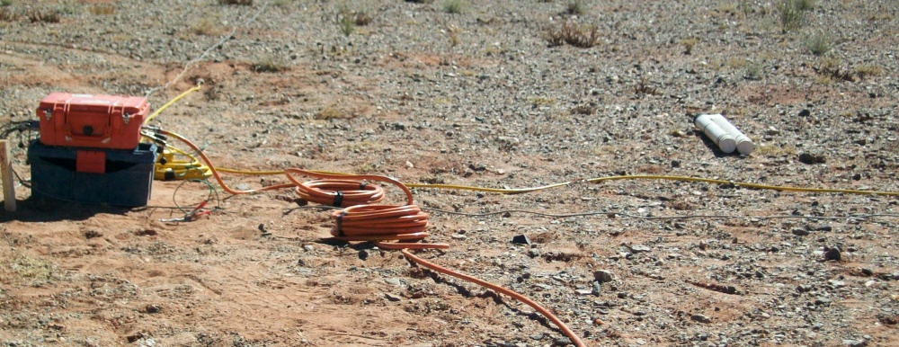
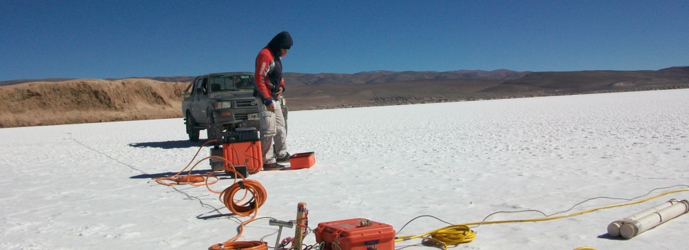
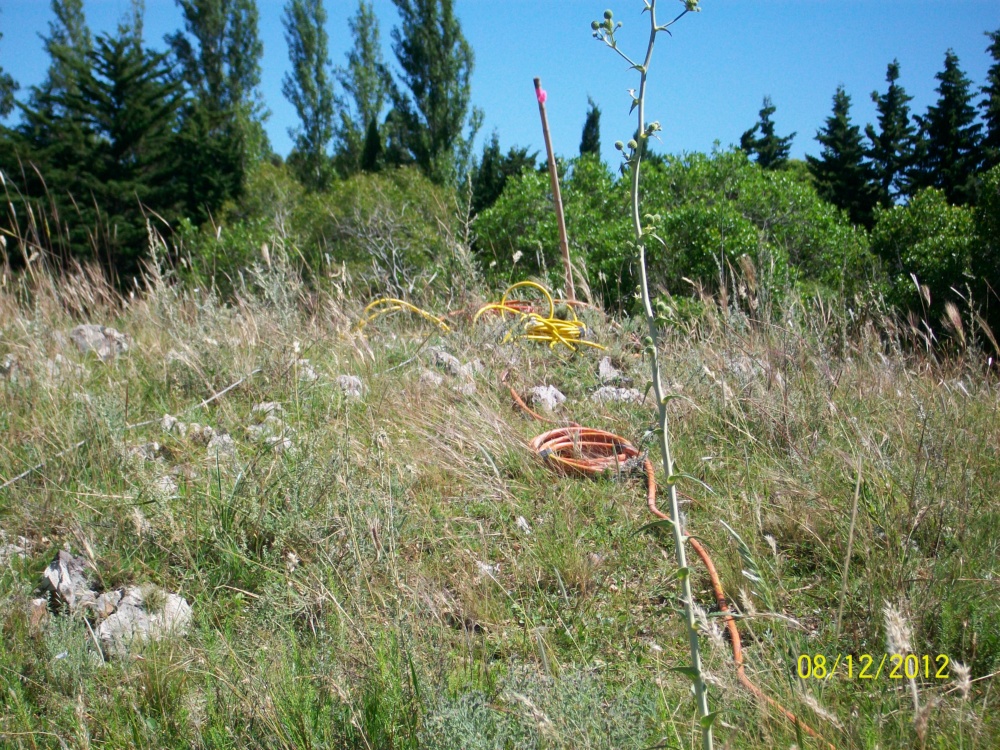
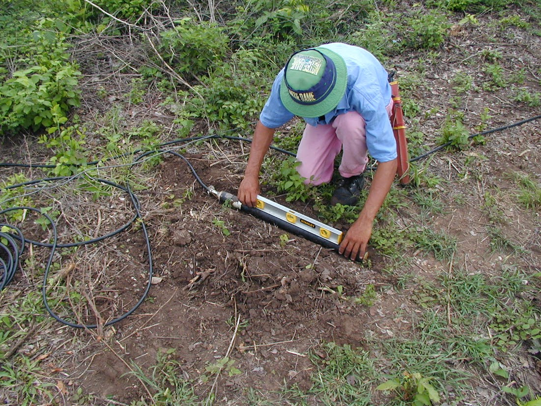
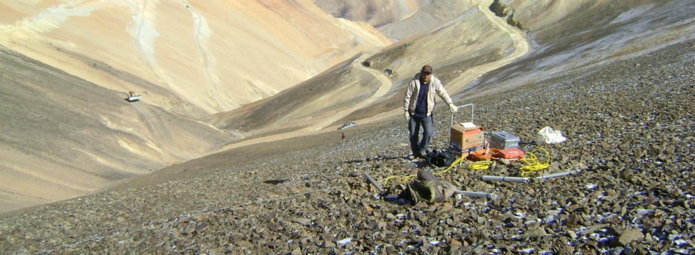
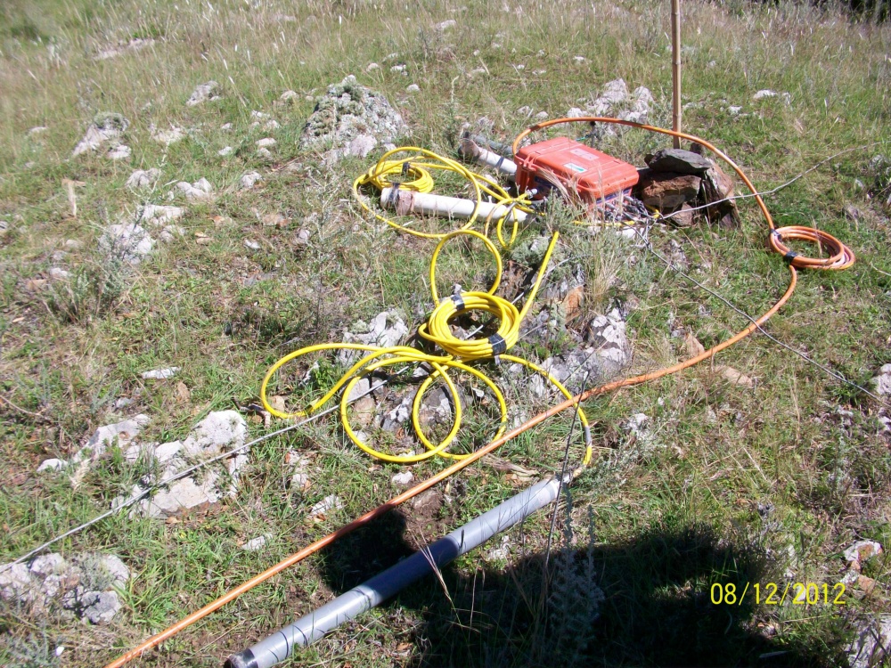
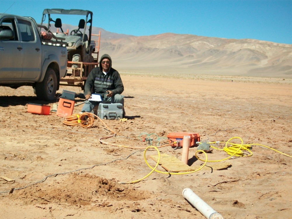
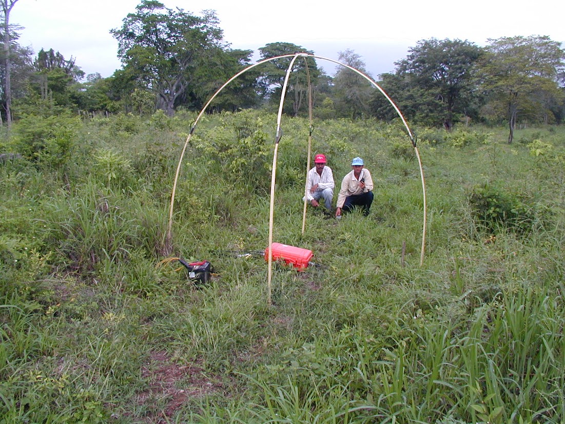
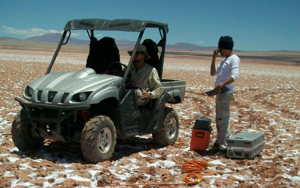
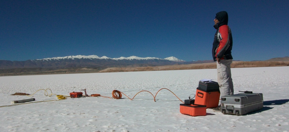
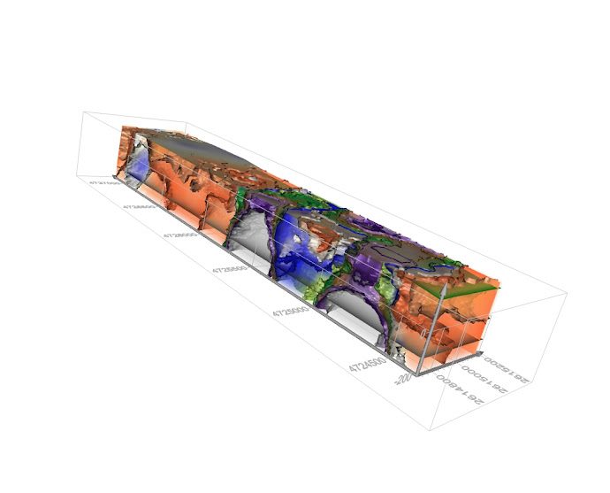
CSAMT
This is where you can rely on GEC S.A.
The STRATAGEM EH-4 provides high-resolution two-dimensional images of geologic structures by detecting and mapping variations in subsurface conductivity. STRATAGEM EH-4 uses the magnetotelluric (MT) method to measure subsurface conductivity. The magnetotelluric method is based on the fact that the ratio of the magnetic to electric fields (known as the impedance) at a given frequency is constant for a constant resistivity. Natural signal sources, such as lightning activity, can be measured to determine this ratio.
Unfortunately, natural signals are sometimes not available at the time, frequency, and amplitudes needed. STRATAGEM’s hybrid-source technique helps overcome this problem. Hybrid source means we use a combination of natural MT signals and man-made transmitter signals. Any available natural background signals are used in the entire frequency band while the STRATAGEM EH-4 transmitter is used to provide additional high-frequency signals in the range of 1 k Hz to 70 k Hz where natural signals are weak. The standard STRATAGEM EH-4 can be operated using frequencies from 10 Hz to 100 k Hz. The low-frequency option can use signals as low as 0.1 Hz for a greater depth of investigation. The operator can select the frequency bands and the number of time series “stacks” for data collection allowing optimization of high / low frequency data collection.
STRATAGEM EH-4 lets your view 1D soundings and 2D sections in the field to provide better field quality control and immediate access to resistivity results. In addition to the LCD video display you can use the built-in thermal printer for field generation of hardcopy for time-series data; signal amplitude; phase; coherency; apparent resistivity; depth curves; and depth and frequency cross-sections. The STRATAGEM EH-4 maintains files of the complete time series data, cross-power and spectral amplitudes, as well as full tensor and scalar values of resistivity, phase, and coherency. Inverted depth and resistivity data are saved and can be exported to third-party software.
No two projects are alike. Thus, to reach your specific goals, it is vital to choose the appropriate method, the best equipment and the right staff.
GEC S.A. trusts 100% in Equipment manufactured by
High technology ...
For further Information about our services please contact:
Sascha Bölling - Senior Geophysicist | Mobile (Whatsapp): +54 (9) 261 685-3640

Applications
■ Mineral Exploration
■ Groundwater Surveys
■ Geothermal Exploration
■ Oil & Gas Exploration
■ Lithium Exploration
■ Engineering Studies
■ Depth to Bedrock Assessment
■ Geological Structure Mapping
■ Discontinuity Search
■ Characteristics of Host Formations
■ Massive Sulphides Ore Bodies / Stockwerks
■ Aggregates
■ Lithology & Stratigraphy
■ Paleovalleys
■ Salt Domes
■ Volcanic Intrusions
■ Groundwater Studies


GEC - Geophysical Exploration & Consulting S.A.
Face the depth ...

